Where? Geographic Information Systems (GIS)
GIS systems allow archaeologists to digitally analyze the geographic qualities of a site. Through satellite imagery, statistical analyses, and other qualities, these programs are capable of revealing spatial relationships that are not easily seen on the ground.
GIS was used to study the distribution of ceramics excavated at the First Home Site. Ceramics are useful in that their form (such as ‘bowl’ or ‘jar’) is closely tied to function (such as eating or storage). Two questions were asked of the First Home collection: 1) is there spatial patterning to where ceramics were found at the site and 2) if yes, do those patterns reveal anything about how the Aldens organized their home?

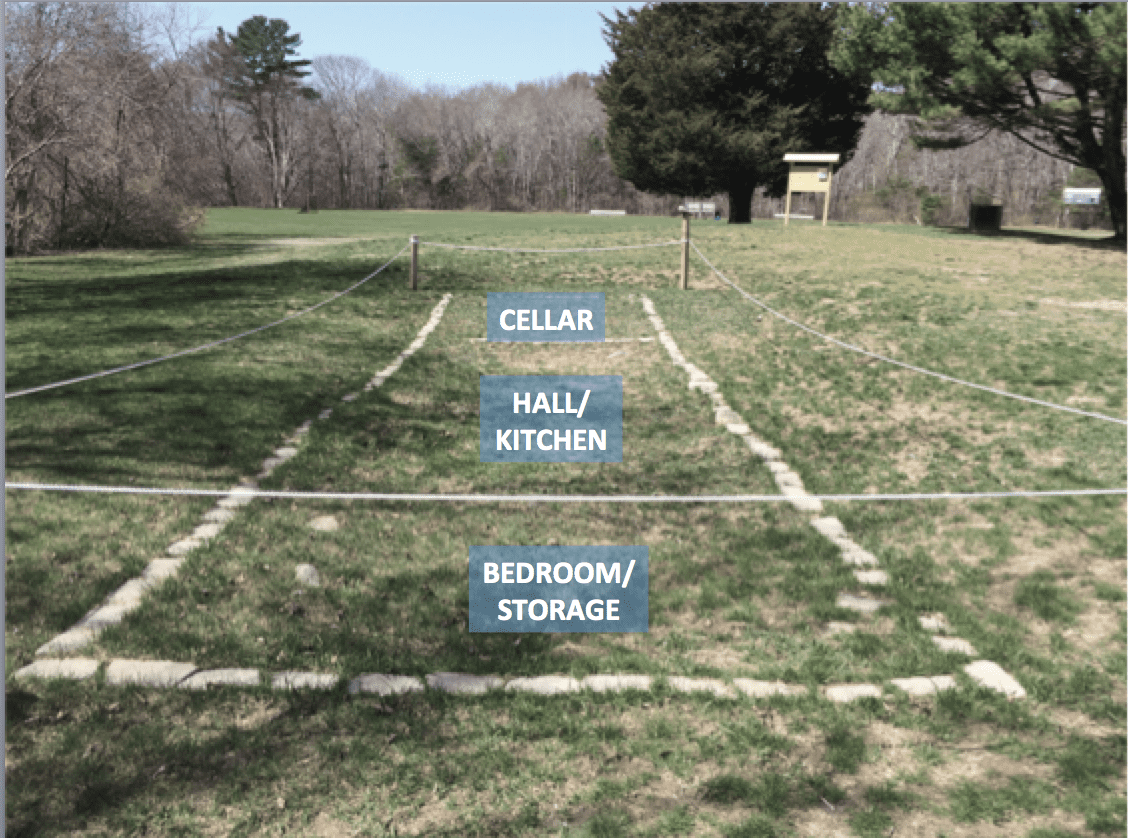
First Home foundation
The analyses showed that there were patterns to where ceramic sherds were found! Many different types were along the far edge of the house, with a large concentration in the middle. This indicates that the Aldens were sweeping the broken pieces towards the back wall and perhaps out a back door. Ceramic sherds also clustered in the south-central portion of the house foundation. This was near the area that original excavator Roland Robbins interpreted as a hearth. In contrast, few sherds appeared on the eastern end.
With these patterns, an interior room layout could be imagined. The cellar is on the western end of the house; it cannot be known at this type was room lay above it. However, the middle of the house appears to be used as a multi-functional room for activities such as cooking and eating. The eastern room of the house could have been a bedroom or storage area for trunks and large furniture where few daily activities took place.

